
Long Branch Neighbors Block Coverage
A block-level search works by matching each source to the narrow fact it records. Parcel tools can show where lots meet. Tax and deed records can identify a dated owner or party. Maps and library material can describe earlier buildings and street names. None of those sources reliably establishes live occupancy. For Long Branch neighbors, keep the block, role, and date visible in the research notes.
| Block source | What it can show | Access route |
|---|---|---|
| Monmouth GIS Property Viewer | Parcel geometry, street labels, adjacent lots, and visible identifiers | Official dynamic map |
| OPRS tax and assessor records | Annual owner, location, assessment, mailing, and block/lot context | OPRS plus the Long Branch assessor |
| Recorded deeds and subdivision maps | Grantor and grantee roles, legal description, filing date, and lot changes | Monmouth County OPRS and Clerk records |
| Historical maps and directories | Older uses, former lots, street context, and time-bound household clues | Long Branch Library and map repositories |
| Community and business sources | Public civic or commercial context for a block, not a resident roster | City Community page and Long Branch BIA |
An owner of record may be a trust, an estate, a corporation, or someone whose mailing address is elsewhere. A historical directory entry is time-bound. Treat a map adjacency as geography and a tax or deed result as a record role, not a conclusion about who lives next door today.
INSIDER TIP: Confirm Long Branch Neighbor Maps
The county GIS viewer is a dynamic map. During research, its exact field list and layer names were not available as stable text. That gap matters: use it to identify the block and adjacent parcels, then confirm the owner, address, tax year, and legal details in the OPRS tax archive or with the Long Branch assessor. Save the map URL and a dated screen capture when the visible parcel layout matters.
GIS is strongest when a corner lot, old street reference, subdivision, or parcel split makes an address hard to follow. It is not a substitute for the assessor’s ownership and location records or the Clerk’s recorded-document trail.
Trace Long Branch Neighbor Record Roles
OPRS Tax List Address mode uses street name, township, and year, rather than ZIP Code. Search the selected Long Branch year deliberately, then compare the location, owner of record, mailing field, assessment, and block/lot or qualifier. The city assessor maintains ownership, mailing address, location, year built, lot sizes, structure characteristics, transfer review, and updates after demolition, appeals, subdivisions, and improvements.
Next, use the OPRS land-record search for block/lot, book and page, document type, or party name. Deeds can identify grantor and grantee names and addresses, consideration, street address, block/lot, and legal description. Mortgages add lender and borrower roles. The fields describe a transaction, not continuous residence. A trust, estate, corporation, fiduciary, or distant mailing recipient may appear instead of a household.
Note: Record the instrument type, recording date, party role, and selected tax year before comparing a parcel result with any historic source.
Rebuild Long Branch Blocks From Sanborn
For block history, pair present parcel geometry with older sources. The Library of Congress identifies a 1890 New Jersey Coast volume that includes North Long Branch and Long Branch, and a 1905 New Jersey Coast volume that includes Long Branch and West Long Branch. Sanborn sheets can show footprints, building material, fire walls, uses, street widths, hydrants, and property labels where present. They describe a physical setting, not a complete list of people.
Use the Long Branch Public Library’s local-history service for directories, newspapers, maps, atlases, photographs, and house-history help. A directory address, Sanborn building label, and tax or deed entry become more useful together when each is labeled by date and source. The inspected sources do not establish a complete year-by-year Long Branch Sanborn run, so do not imply uninterrupted coverage between the known volumes.
Historic section names can improve a search. Elberon, West End, Hollywood, Norwood Park, Branchport, East Long Branch, North Long Branch, and Pleasure Bay appear in local sources, but they should be treated as historic or section labels unless a current municipal map supplies a boundary.
Map Long Branch Neighbor Blocks
Use the adjacent-parcel method to study a small radius around one address. The GIS viewer is valuable for seeing the subject parcel, nearby lots, street labels, and visible parcel identifiers. Its live fields and layer inventory were not exposed during the research review, so the map is a geographic starting point rather than the final text authority. Confirm every property fact in OPRS or with the assessor.
- Normalize the street address and locate the subject parcel in the Monmouth County GIS Property Viewer. Record visible street labels, the parcel identifier, and each immediately adjacent block/lot.
- Search each parcel separately in the OPRS tax-list archive and the Long Branch assessor route. Retain the selected tax year, owner of record, parcel location, mailing field, and block/lot.
- Use OPRS deed or subdivision records to compare legal descriptions, grantor and grantee roles, dates, and any lot split or merger. A changed number does not automatically mean a changed parcel.
- For an older block question, continue with library directories, maps, newspapers, and Sanborn material. For the full named-street chain, use the Long Branch street directory.
Keep a simple flow in the research log: address, subject parcel, adjacent block/lot, assessor or tax result, deed or subdivision result, then historic context. That sequence makes it clear which item came from the map and which item came from an authoritative text record.
Long Branch Neighborhood Context
Long Branch has no complete current official residential-neighborhood-association directory in the sources reviewed. The city’s Community page refers to Long Branch Police on Nextdoor and a neighborhood hub, which can help a resident locate current community channels but does not provide a membership list or a way to identify private households. Record the page date and use the organization’s own contact route for current information.
The official Long Branch Community page is the appropriate current starting point for that limited community context.
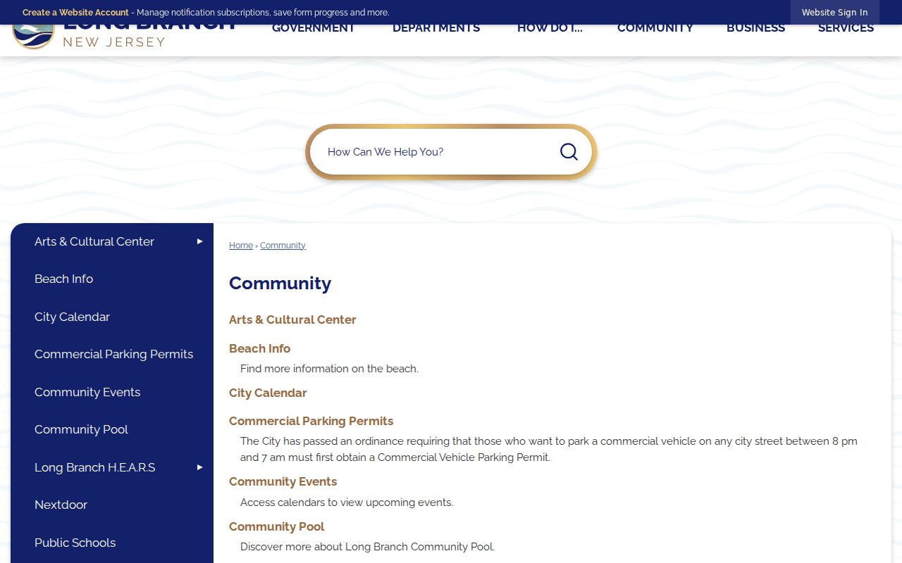
That official route supplies community context without turning a block search into a directory of private occupants.
| Community source | Time frame and safe use |
|---|---|
| Long Branch Community page | Current city reference to a neighborhood hub and Long Branch Police on Nextdoor; not a complete association directory |
| 1968 civic coalition | Historical snapshot naming City Wide Civic Association, Elberon Community Association, North Long Branch Community Club, Liberty Community Center, Ministerial Alliance, Chamber of Commerce, Elks, and VFW |
| Library local history | Historical block, organization, directory, newspaper, map, and photograph context with collection provenance |
The 1968 coalition is evidence of past civic organization only. It does not establish that any named group, roster, contact, or membership remains current.
Compare Long Branch Neighbor Sources
Official records and commercial neighbor-search categories serve different purposes. For a bounded public-record question, the official record creator makes the source, date, access limit, and route easier to identify. A commercial category can be incomplete, stale, or unclear about why a name is connected to an address. Neither type should be treated as a definitive live-occupancy list.
| Source category | Useful block question | Important limit |
|---|---|---|
| Official GIS, assessor, tax, and OPRS records | Where a parcel is, its dated owner or transaction role, and how lots relate | Ownership, a mailing field, or a deed party is not proof of a current occupant |
| Official civic and records-request channels | Whether a defined public improvement, permit, or planning record exists | Request only the record created by that office, with a date range and block/lot |
| Commercial neighbor-search category | A possible lead to verify elsewhere | Data origin, date, and role can be unclear; do not rely on it for a block claim |
The Long Branch Business Improvement Association is another context source, but only for its business area. It describes a boundary from Long Branch Avenue to 22nd Street on Lake Shore Boulevard. That is commercial and civic geography, not a residential association or a list of neighbors.
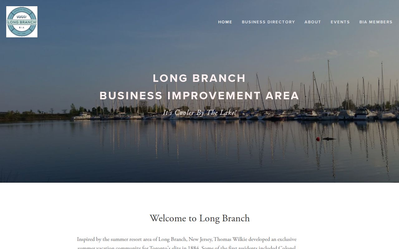
The boundary can help interpret a business corridor while keeping residential research focused on parcels, dates, and documented public context.
Long Branch Neighbor Lookup Limits
Public availability is not a reason to build a live block roster. New Jersey’s Address Confidentiality Program provides eligible participants a substitute address for future government records. Daniel’s Law protects covered judges, prosecutors, law-enforcement personnel, and immediate household family members through home-address and unpublished-phone redaction. A missing or redacted address must not be reconstructed from unrelated sources.
Use a public record only for the narrow question it can answer. Court, vital, and protected records have their own access rules. If a public permit, planning packet, street improvement, or municipal file is missing, send a focused request under the New Jersey Open Public Records Act to the department that created it, with the block/lot, street, record type, and date range. County guidance directs court and vital requests to their separate custodians.
Keep the Long Branch block question, source date, parcel role, and privacy note together. That record of method makes a historical or civic finding easier to check without turning nearby private people into a directory.
Lawful use. Keep Long Branch neighbor research to personal, lawful block history, civic context, or a specific public record. Do not use it to monitor, stalk, harass, intimidate, or harm any person.